Your Trail, Your Way: How to Customize Your Hiking Route in National Parks
Chosen theme: How to Customize Your Hiking Route in National Parks. Welcome, trail dreamers and map tinkerers—today we turn official park trails into personal adventures with smart planning, soulful purpose, and a dash of curiosity.
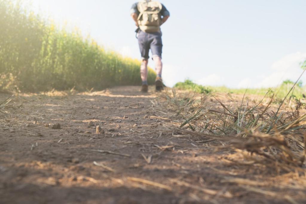
Begin with Your Why: Purpose, Pace, and Payoff
01
Name your priorities—panoramic vistas, solitude, waterfalls, wildlife, geology, or a playful scramble—so your custom route actually delivers the experience you crave. Tell us your top goal in the comments to get tailored suggestions for your favorite national park.
02
Use daylight hours, sunrise and sunset times, and your average pace to set honest boundaries. Remember, steep elevation can double effort and change timing dramatically. Working backward from sunset keeps your custom plan both ambitious and safe in unfamiliar terrain.
03
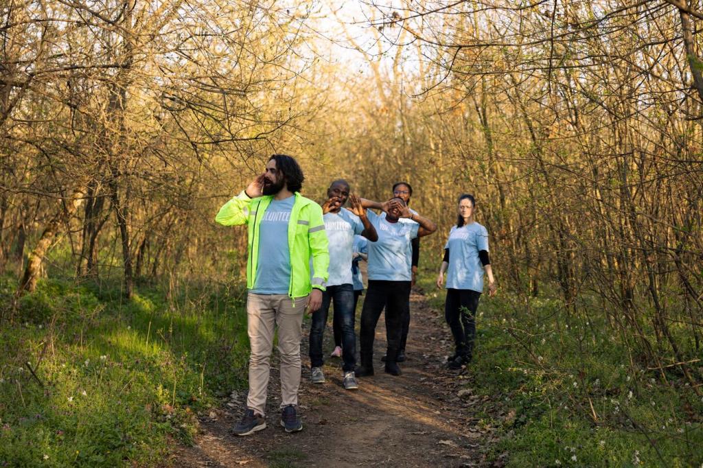
Adapt mileage to the least experienced hiker, not the strongest. Build in snack cadence, photo pauses, and scenic rests to keep morale high. A well-matched route prevents overexertion and creates shared wins that turn first-timers into lifelong park hikers.
Read topo details beyond the line
Contours reveal slope steepness, aspect, and likely sun exposure, which helps you sequence climbs for cooler hours. Cross-reference streams, cliffs, and ridges so your custom route lands water, shade, and views exactly when your legs and camera want them most.
Short spurs to overlooks or waterfalls can become the emotional highlights of your day. Lollipop loops minimize repetition while protecting energy. In Acadia, a Jordan Pond loop with South Bubble detour feels new, even if you have walked those shores ten times.
In the Rockies, afternoon thunderstorms often erupt after lunch, making early ascents safer and more rewarding. Desert canyons radiate heat well into evening, so choose shaded aspects. Forested north slopes might hold snow long after sunny faces have melted out.
Wildlife etiquette influences routing
Calving elk, nesting raptors, and bear management areas can trigger temporary trail restrictions. Adjust your custom route to protect animals and yourself, leaving space and avoiding dawn choke points. Responsible choices keep sensitive closures short and opportunities open for everyone.
Shoulder seasons demand flexible traction and layers
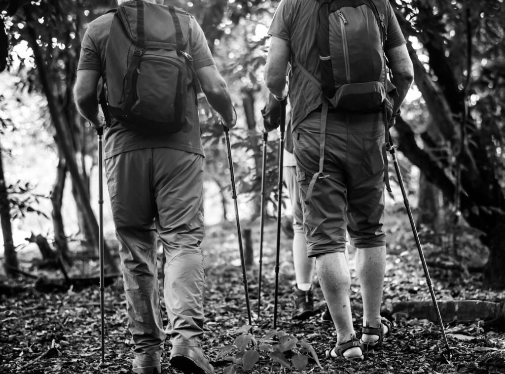
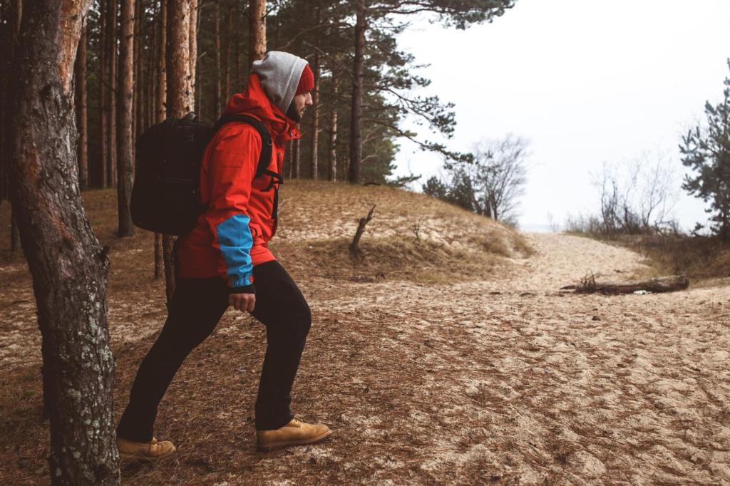
Spring melt and autumn cold mean microspikes, waterproof layers, and trekking poles can convert a sketchy idea into a confident plan. Identify bailouts near icy switchbacks or swollen creeks so a sensible detour becomes part of the design, not a defeat.
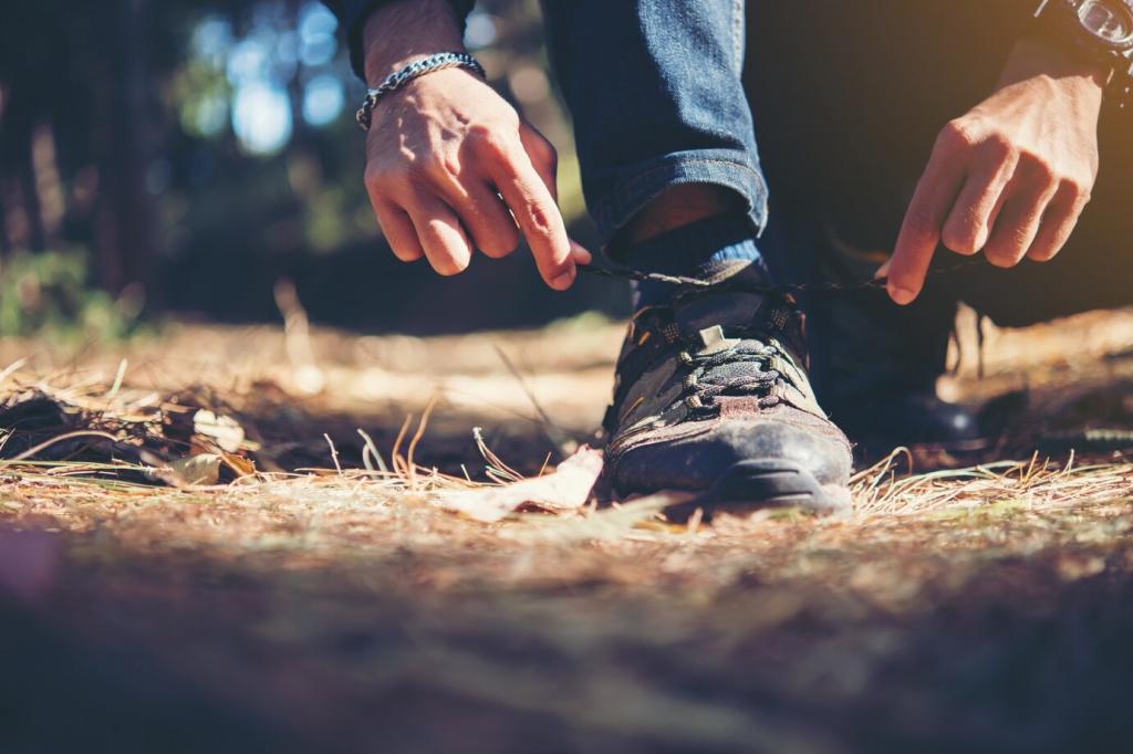
Safety First Without Killing the Adventure
Define turnaround times and bailouts
Mark junctions that lead safely down or back to transit. Commit to turnaround times without negotiation, especially in heat, storms, or short daylight. Drop coordinates in your offline map and leave a plan with a trusted contact before your boots hit dirt.
Water planning made practical
Estimate liters per hour by temperature and effort, then identify reliable sources. Confirm seasonal flows with rangers and recent trip reports. Carry a filter, and know whether caching is allowed. Smart hydration choices often determine whether custom loops stay enjoyable.
Navigation redundancy and communication
Download offline maps in two apps, carry a paper topo, and practice with a compass. A personal locator beacon is priceless in remote parks. Airplane mode extends battery life; a tiny power bank often saves the day when recording tracks and photos.
Design for Meaning: Photos, Journals, and Quiet Moments
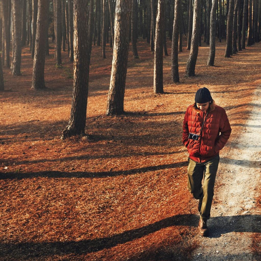
Time climbs so you crest ridges at sunrise or finish near a reflective lake at sunset. In Yosemite, Glacier Point glows with first light, while valley mist softens everything. Share your favorite golden-hour spots so others can weave them into thoughtful routes.
Design for Meaning: Photos, Journals, and Quiet Moments
Choose three stops to jot quick notes: a scent, a sound, a feeling. Prompt ideas like, “What surprised me here?” or “What will I return for?” Your custom route becomes a narrative, not merely a sequence of junctions and miles.
A Custom Yosemite Day Loop That Changed My Summer
I started before dawn up the Mist Trail to feel Vernal’s spray, then climbed to Nevada Fall’s roar. The Panorama Trail delivered airy views toward Glacier Point, where a late lunch felt earned. The descent via Four Mile stitched the loop into a satisfying arc.
A Custom Yosemite Day Loop That Changed My Summer
A fast-growing thunderhead over Sentinel Dome made me shift a photo stop and pick a sheltered break near Illilouette. My built-in time buffer kept the day calm. That quick decision turned anxiety into awe as the storm veered and the light turned cinematic.
Share, Subscribe, and Build Better Custom Routes Together
Post your park, goal, and constraints
Comment with a simple template: Park, distance range, elevation comfort, must-see features, and timing. We will suggest two route variations that honor your vision while respecting regulations, weather, and group abilities. Your details help everyone refine their planning toolkit.
Subscribe for monthly custom route blueprints
Join our newsletter for park-specific planning frameworks, printable checklists, and seasonal timing guides. We break down classic areas into modular segments you can remix. Expect honest tradeoffs, map screenshots, and time estimates you can adjust to your pace.