Chosen Theme: Guide to Mapping Out Hiking Trails. Step into a map-first mindset where contour lines whisper, waypoints converse, and your next trail takes shape with intention. Explore practical techniques, field-tested stories, and simple habits that turn vague plans into confident journeys. Subscribe for weekly trail-mapping inspiration and share your own mapping wins with our community.
Reading the Land: Topography That Tells the Truth
Decoding Contour Lines
Close lines mean steep climbs, gentle spacing suggests easier grades, and V-shaped bends point upstream. Trace a ridge and you’ll spot safer, wind-swept traverses. Comment with a screenshot of your favorite topo map, and we’ll help interpret the trickiest section together.
Elevation Profiles with Purpose
An elevation profile is more than a pretty graph—it’s your energy budget. Sketch climbs near the start while legs are fresh, and plan rests before sustained ascents. How do you pace your climbs? Share your approach and we may feature it next week.
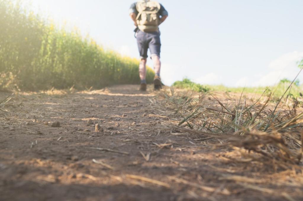
Aspect, Shade, and Seasonal Realities
South-facing slopes melt early, north-facing gullies hold ice, and afternoon sun bakes exposed ridges. Mark aspects on your map to time water refills and shade breaks. Tell us your seasonal mapping hack, and help another hiker choose a smarter line.
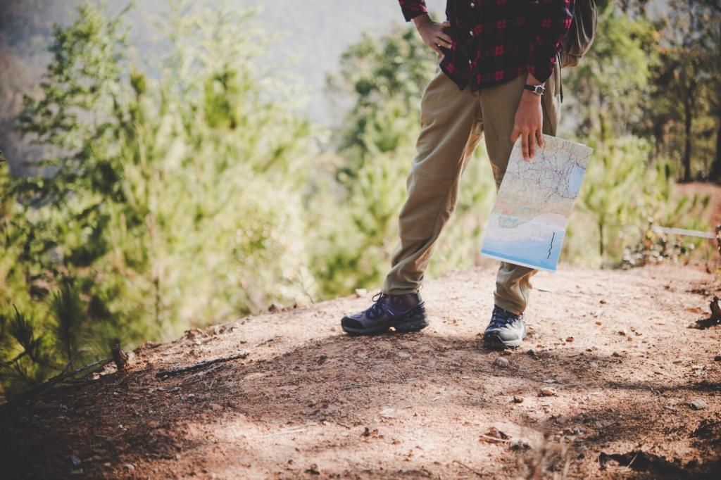
Choosing the Right Map Scale
Large-scale maps reveal micro-terrain for off-trail detail, while smaller-scale maps give you the big picture for multi-day planning. Keep both on hand so you can zoom out to strategize and zoom in to decide. What scales do you prefer, and why?
Offline GPS and Battery Discipline
Download offline tiles, store redundant GPX tracks, and pre-load waypoints for water, bailouts, and junctions. Set your device to airplane mode, dim the screen, and bring a tiny battery bank. Share your device setup to help new mappers get confident offline.
Compass Skills That Never Crash
A bearing to a visible landmark can confirm your digital arrow in seconds. Practice leapfrogging reference points and checking declination before you depart. What’s your favorite compass drill? Post it, and we’ll compile a community practice list.
Designing the Route: Waypoints, Water, and Wise Turnarounds
Map trailheads with reliable parking and note alternate exits for weather or fatigue. Add taxi or shuttle options if reception fails. A smart bailout plan turns a tough day into a safe detour. Drop your local bailout tips to help travelers in your area.
Safety Layers: Weather, Wildlife, and When to Pivot
Check multiple forecasts, note wind exposure on ridges, and mark tree cover for lightning safety. Keep a lower-route option ready if storms roll in. Comment with your favorite weather source and we’ll compile a community resource list you can bookmark.
Safety Layers: Weather, Wildlife, and When to Pivot
Flag avalanche zones, creek crossings, blowdowns, and cliff bands. Add seasonal closures to avoid surprises and fines. If you’ve encountered a hazard recently, update your map notes and tell us—your intel might save someone’s day.
Field Story: Mapping a Sunrise Ridge Loop
At 4:30 a.m., we sketched a ridge loop to catch first light on granite. We placed water waypoints, a bailout below treeline, and a sunrise summit window. What’s your pre-dawn ritual? Share your checklist to help fellow early birds.
Field Story: Mapping a Sunrise Ridge Loop
A washed-out bridge forced a reroute. Because we’d mapped a highline variant and recorded bearings to visible saddles, the detour felt smooth, not stressful. Have you ever pivoted mid-hike? Post your story and what you’d map differently next time.